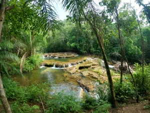
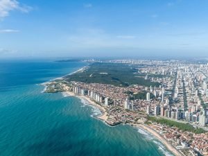
The Seven Lakes Road is a famous tourist route located in Argentine Patagonia. The route connects the cities of San Martín de los Andes and Villa La Angostura, passing through seven beautiful mountain lakes.
Contents
Our journey
During this journey, you will pass through the seven lakes that give the route its name: Lácar, Machónico, Falkner, Villarino, Escondido, Correntoso, and Espejo. Finally, you will reach Nahuel Huapi. You will also traverse two national parks: Lanín and Nahuel Huapi, which are two of the main protected areas in the region. Each lake on the circuit has a viewpoint with splendid views, but on this route, we have also added other points of interest worth visiting.
San Martín de los Andes
The city is the starting (or ending) point of the journey. As soon as you leave the city behind, Lake Lácar dominates the scene. We are traveling on National Route 40 (former 234), at the beginning of the section known as ‘De los Siete Lagos,’ which connects the towns of San Martín de los Andes and Villa La Angostura.
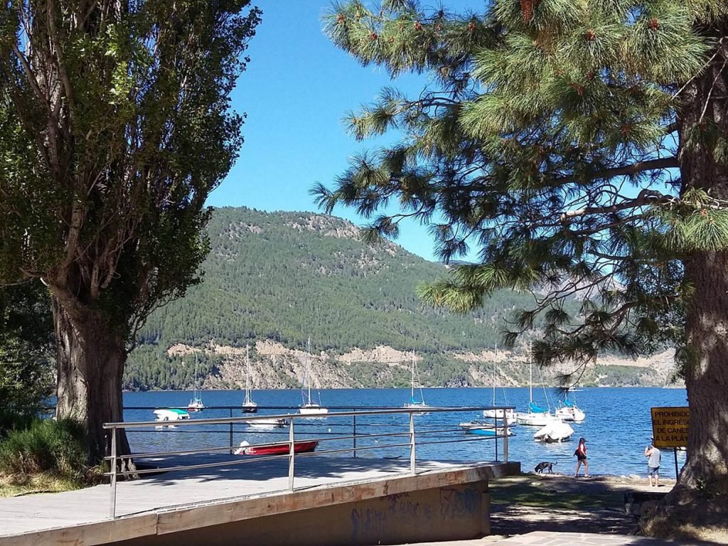
Lake Lacar
It has an elongated and narrow shape, with a length of approximately 20 kilometers and a maximum width of 5 kilometers. Its waters are crystal clear and have an intense turquoise blue color due to the presence of mineral sediments.
On the shores of the lake is the city of San Martín de los Andes, which you definitely have to visit if you are a nature lover and enjoy outdoor activities. The area is ideal for activities such as kayaking, hiking, and swimming.
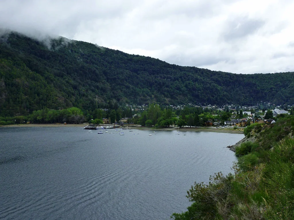
Catrite Beach
Five kilometers to your left, you’ll find the entrance to Catritre resort on Lake Lácar, and one kilometer ahead, the access to Provincial Route 108 that leads to Villa Quila Quina.
The pellín oak forest frames the continuous ascent, and the first houses of rural settlers begin to appear, with sheep grazing, and in the front, the entire Chapelco mountain range.

Pil Pil Viewpoint
It’s the perfect excuse to appreciate from above all the beauty of Lake Lácar, the Vizcacha, Sabana, and Colorado hills, and a good part of the valley of the stream that gives its name to the place.
At less than a thousand meters, precisely at kilometer 15, the detour to the Chapelco Winter Center is located on the left.
Partido Stream
Five kilometers ahead, on the right, there is a huge mallín (easily flooded lowland area) and the Mirador del Arroyo Partido (Parted Stream Viewpoint).
We are facing a natural rarity, as the small stream that brings the meltwater from the summit of Cerro Chapelco stumbles upon the stony bed, and from there it splits into two clearly differentiated branches. The left one becomes the Culebra stream which, true to its name, snakes seeking the waters of the Hermoso River, and then continues its journey towards the Atlantic Ocean; the right one is named Pil Pil and, through the waters of Lake Lácar, flows into the Pacific Ocean.
Hermoso Lake
Continuing the circuit, a spectacular view of Cerro Falkner unfolds before your eyes, and then you descend abruptly to the Hermoso River. There you will find a budding urbanization with gastronomic services and accommodations.
Two roads open up, and we take the one on the right that leads to Villa La Angostura (85 km) and Bariloche (166 km).
The next point of interest is the access to Hermoso Lake, five kilometers ahead. The service area that has grown in recent years includes everything from a bar and pub to bed and breakfast accommodations, guided horseback rides, mountain refuges, camping with hot water, and the park ranger station. You have to turn two kilometers to the right to reach the body of water, visiting Pudú Pudú lagoon. This lake is not part of the seven, but it’s worth a visit.

Machonico Lake
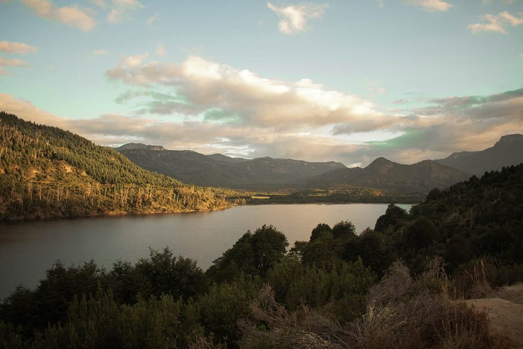
It is undoubtedly an unavoidable postcard of the journey. Water sports can be practiced, mainly in the summer, such as kayaking and canoeing. Motorized navigation is prohibited.
Nahuel Huapi National Park
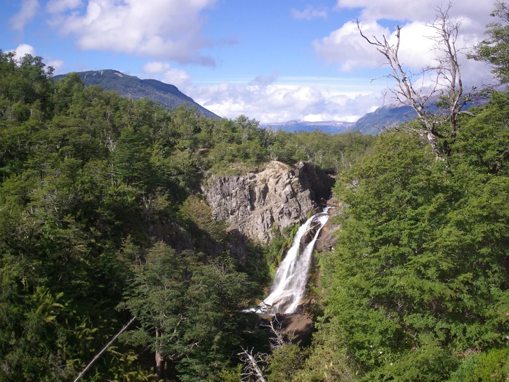
Upon leaving behind the Lanín National Park, you enter the Nahuel Huapi National Park, where you can soon admire the Vulignanco waterfall, an impressive cascade that emerges from the forest, splitting in two with a mandatory photo-worthy fall.
Faulkner Lake
Just restarted the journey, Lake Falkner appears with all its grandeur, with a succession of sandy beaches and the small river that connects it with Lake Villarino.

Villarino Lake
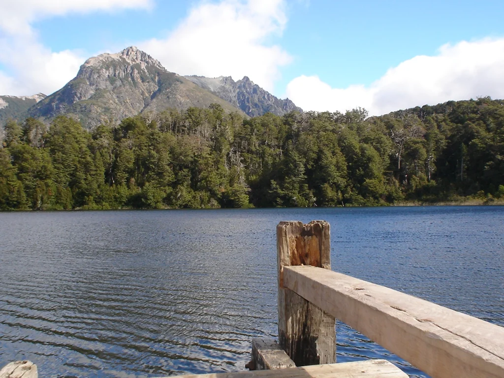
Its shores are covered with a dense Andean Patagonian forest, in very good conservation condition. They abound with coihue, lenga, and arrayán. Its waters are rich in salmonids, especially various species of trout, attracting many visitors to practice sport fishing in it.
Escondido Lake
It appears with its green tones standing out among the coihue forest, and the road begins to descend to Pichi Traful, which is nothing more than the northern arm of the homonymous lake. A picnic area on the river, the park ranger’s office, and a detour to the left that, after two kilometers, leads to the lake and the campsite, follow one another.
The next detour you will find, to the left and with abundant informative signage, is Provincial Route 65 that leads to the lake and Villa Traful (another visit to make).
Trail to the Ñivinco Cascade
On the route, you’ll come across signs indicating a detour to the waterfall. Follow this path until you reach the parking area. From there, the journey continues on foot, and a gate marks the beginning of this tranquil 45-minute hike. The trail spans approximately 4 kilometers, offering a rewarding attraction—a shallow pool of crystal-clear water where you can cool off.
It’s essential to consider the footwear, as you’ll need to cross a stream. Although it’s narrow and easy to cross, you’ll have to step into its cold, very cold waters. Sandals or a second pair of sneakers are recommended since walking with wet footwear can be uncomfortable.

Lake Correntoso
Continuing along National Route 40, you’ll come across Correntoso Lake, one of the largest on the circuit, with numerous bays and beaches.
The lake is approximately 5 kilometers long and 1 kilometer wide. Its waters are crystal clear and of an intense turquoise color, surrounded by lush vegetation of lenga and coihue forests. Moreover, it is located at the foot of the Andes mountains, providing a spectacular view.
Lake Correntoso is especially known for trout fishing, attracting both professional and amateur anglers. Various water activities, such as kayaking and windsurfing, can also be enjoyed on the lake.

Espejo Lake
A few meters before reaching a bridge with a currently unused inn (Ruca Malen), you’ll see a right turn leading to Lake Espejo Chico (not to be confused with Espejo), located two kilometers from the main route, featuring a beautiful beach and rustic camping.
The next lake is called Espejo [Mirror]. You’ll find a natural viewpoint and a picnic and camping area near the park ranger station.
It has an approximate surface area of 3 km². Its waters are crystal clear and of an intense turquoise color, making it an ideal place for swimming and engaging in water sports such as kayaking, windsurfing, and sport fishing.
The lake is surrounded by coihue and lenga forests, as well as the Andes mountains, making it an ideal spot for hiking and trekking. Additionally, near the lake, you can find several waterfalls and streams, perfect for picnicking and enjoying nature.

Villa La Angostura
A few kilometers ahead, you will find a new road junction where National Route 40 connects with National Route 231, leading to the international Cardenal Antonio Samoré pass (formerly Puyehue).
Take a left turn to finally reach Villa La Angostura. Lake Nahuel Huapi appears in all its splendor, with bays, beaches, and well-maintained architecture highlighting the numerous lodging options you’ll encounter before reaching the urban center.

The Giant Nahuel Huapi Lake
Lake Nahuel Huapi is one of the largest and most beautiful lakes in Argentina, and although it is not part of the Seven Lakes, it is the worthy conclusion of the journey. On Nahuel Huapi, we encounter Villa La Angostura, a highly chosen tourist destination due to its stunning natural beauty.
The lakefront in Villa La Angostura is an ideal place to enjoy water activities such as boating, windsurfing, sailing, kayaking, and sport fishing. Additionally, there are several sandy beaches where you can sunbathe and swim in the lake.
Furthermore, the city of Villa La Angostura is located on the Quetrihué Peninsula, surrounded by mountains and forests of cypress, coihue, and lenga trees. It is an ideal place for hiking and trekking in nature, enjoying breathtaking panoramic views of the lake and the nearby mountains.

Even though we’ve traveled this path so many times, especially in the summer, it always has new things to offer us. There are companies that offer this excursion both from San Martín de los Andes and from Villa La Angostura.


